
Dominica identified a need to strengthen its mapping and monitoring capabilities to better support decision-making before, during, and after natural and human-caused disasters, and to advance its long-term resilience efforts. The Ministry of Housing and Urban Development sought NRCan-TAP support after learning about NRCan’s AI-based geospatial technology through the UN Global Geospatial Information Management network.
Strengthening Dominica’s mapping capacity through Canadian innovation
NRCan’s Canada Centre for Mapping and Earth Observation (CCMEO) delivered a comprehensive technical assistance initiative through a series of targeted missions aimed at building long-term institutional capability in Dominica.
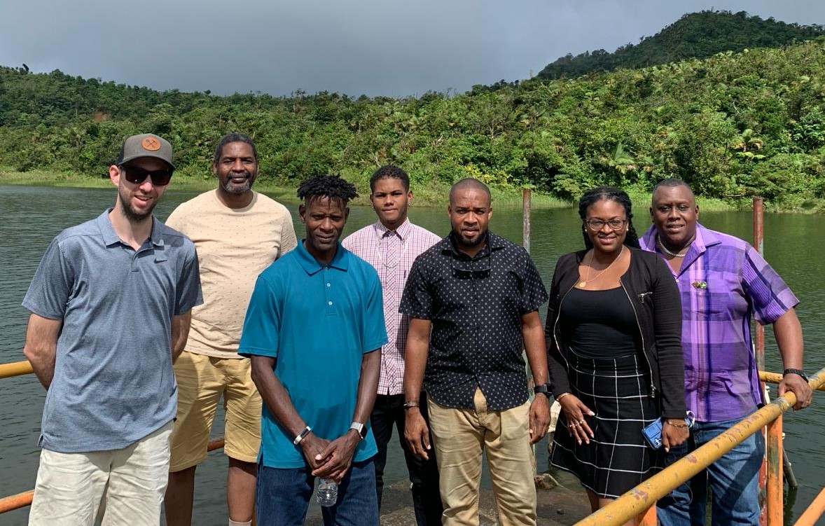
NRCan Scientists on a field visit in Dominica with Dominica's Land and Survey Division, Ministry of Housing and Urban Development
Capacity building was central to the project’s success. NRCan specialists conducted onsite assessment and delivered hands-on training to Lands and Survey Division staff, covering the use, maintenance, and long-term sustainability of AI mapping technologies. Training emphasized best practices in data acquisition, data management, and the use of open-source tools ensured that the team could continue to evolve their geospatial capabilities beyond the project’s formal end. As a result, the Division has already begun integrating open-source solutions into its workflows, strengthening data management practices, expanding training datasets, and effectively using the hardware and AI models provided by NRCan to enhance national mapping operations.
Faster, smarter mapping for a more resilient Dominica
Through this technical exchange, the Dominica Lands and Survey Division’s capacity to generate and manage high-quality geospatial information was significantly strengthened. A key achievement was the development of a customized AI-powered data segmentation model designed to process high-resolution imagery with speed and precision. This innovation now enables the Division to perform near real-time mapping for both routine operations and post-disaster assessments, dramatically reducing the time required to produce accurate geospatial products. To support sustained use of this advanced capability, NRCan also provided two high-performance workstations, allowing local teams to process computationally intensive AI workloads without relying on external resources.
Canadian expertise expands globally
The success of NRCan’s targeted technical assistance in Dominica has prompted interest from neighbouring Jamaica, which has since received GeoAI training and capacity-building support tailored to its needs. Senegal is also working with NRCan experts to adopt GeoAI tools that strengthen its disaster preparedness capabilities.