

Filter your results
Keywords:Article
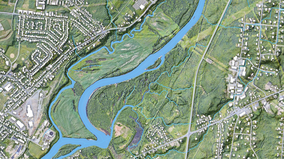
From rain to risk: How flood hazard maps are made
Create flood hazard maps by analyzing rainfall, terrain, and water flow to assess risk

Keywords:Article
Simply Science in Seconds: Tying seismic science to preparedness in the North
Connect seismic science with preparedness measures to reduce earthquake risk in northern communities

Keywords:Podcast
The Smoking Hills
Study underground coal fires that create the long‑burning phenomenon known as the Smoking Hills

Keywords:Podcast
Earthquakes in Eastern Canada
Examine earthquake risk in eastern Canada and how geological conditions influence ground shaking

Keywords:Video
Icebergs Can Cause Landslides – New Discovery (Byte-Sized Science)
Alex Normandeau links icebergs to underwater landslides after rare field evidence. - YouTube Video (6:50 minutes)

Keywords:Article
Canadian Fatal Landslides Mapped
Map fatal landslides across Canada to understand risk patterns and support hazard awareness

Keywords:Video
Looking for Evidence of Ancient Earthquakes (Byte-Sized Science)
Greg Brooks studies lake evidence of ancient quakes to guide resilient design - YouTube Video (6:06 minutes)

Keywords:Article
The link between deadly volcanos, climate change and mass extinctions
Examine links between major volcanic eruptions, climate change, and past mass extinctions

Keywords:Article
Why are researchers interested in an earthquake that occurred over 300 years ago?
Study a 300‑year‑old earthquake to better understand seismic risk and past ground shaking

Keywords:Article
Canada as never seen before: The new RADARSAT Constellation Mission
Deliver an unprecedented view of Canada using the RADARSAT Constellation Mission’s advanced satellite data