

Filter your results
Showing 1 to 6 of 6 results.
Keywords:Article
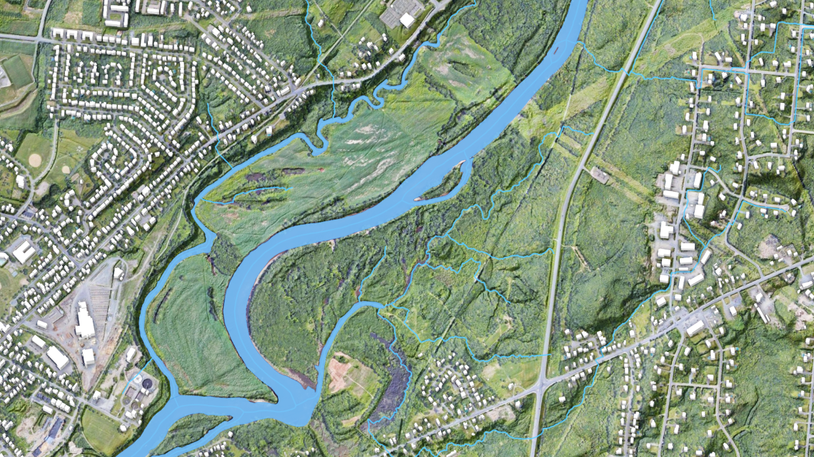
From rain to risk: How flood hazard maps are made
Create flood hazard maps by analyzing rainfall, terrain, and water flow to assess risk
Keywords:Article
Revolutionizing emergency preparedness with on-demand mapping
Improve emergency preparedness by mapping demand to support faster response and better resource allocation

Keywords:Podcast
Incorporating Artificial Intelligence (Ask NRcan)
Like many organizations, the Government of Canada is exploring ways to incorporate artificial intelligence into our work
Keywords:Article
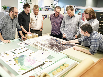
Mapping a Flood: every minute counts
Map floods in near real time to support faster response and better decision‑making during emergencies
Keywords:Article
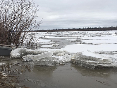
Today’s forecast: scattered ice chunks with an 80% chance of flooding
Use modelling to forecast ice breakup conditions and an 80% risk of flooding
Keywords:Article
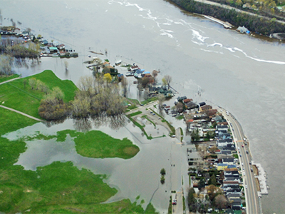
Prototype flood map app captures what satellites can’t
Use a prototype flood‑mapping app to capture local flooding details that satellites can miss