
Filter your results
Keywords:Podcast
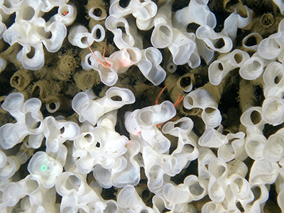
Discovering Glass Sponge Reefs (Ask NRCan)
In the 1980s, scientist Kim Conway was part of an expedition to map the continental shelf in the Pacific Ocean. During t
Keywords:Article
Mapping a Flood: every minute counts
For weeks, Simon Tolszczuk-Leclerc and the Emergency Geomatics Service (EGS) team have been following the spring thaw an
Keywords:Podcast
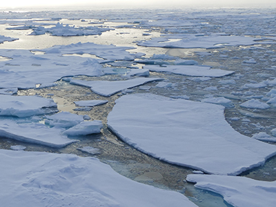
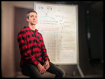
Science at the North Pole
On this episode of “Ask NRCan,” research scientist David Mosher talks about his experiences travelling to the
Keywords:Article
Satellite Navigation: The familiar blue dot could soon mark a better spot
Getting from point A to point B using your smartphone’s web mapping application with the familiar pulsing blue dot is pa
Keywords:Article
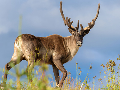
Canada’s caribou at risk: mapping out solutions
Canada’s boreal caribou are running a race against time. Their numbers have decreased by more than 30 percent over the p
Keywords:Video
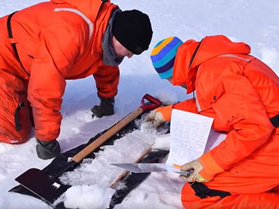
Measuring Lake Ice Thickness From Space (Byte-Sized Science)
Scientists map lake‑ice thickness from space to support ice roads and track climate change - YouTube Video (1:56 minute)
Keywords:Article
Natural Solutions to Climate Change
Natural Resources Canada works with Parks Canada to create a Carbon Atlas.
Keywords:Article
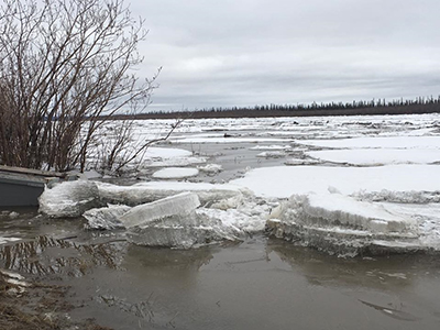
Today’s forecast: scattered ice chunks with an 80% chance of flooding
In analyzing the Facebook data collected by the community, Whalen and his colleagues Paul Fraser and Don Forbes are maki
Keywords:Article
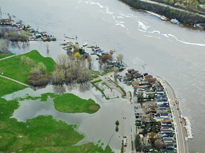
Prototype flood map app captures what satellites can’t
A team of scientists at Natural Resources Canada collects data from radar satellite images and produces near-real-time m
Keywords:Article
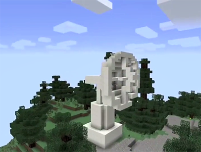
Indigenous students get creative with geospatial data
Nicole Collison and Kyla Hvatum, two young Indigenous women from Inuvik, used data conversion software to create a Minec