
Filter your results
Collection
Topic
Showing 1 to 6 of 6 results.
Keywords:
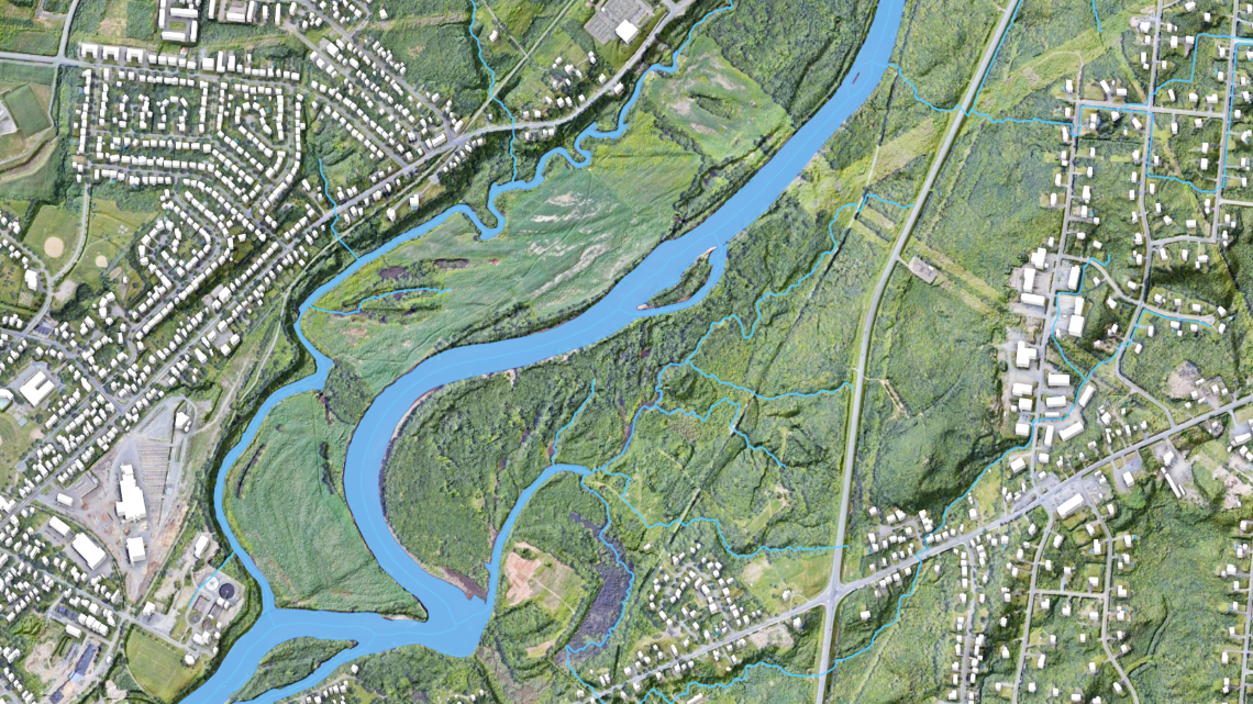
From rain to risk: How flood hazard maps are made
Helping communities prepare before water rises
Keywords:Article
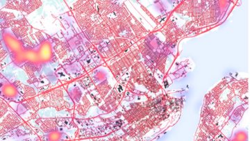
Revolutionizing emergency preparedness with on-demand mapping
In today’s hyper-connected era, Canadians are seeking immediate and easy to access mapping where and when it’s needed

Keywords:Podcast
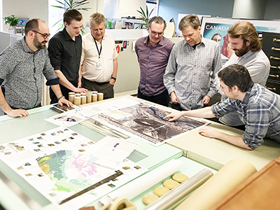
Incorporating Artificial Intelligence (Ask NRcan)
Like many organizations, the Government of Canada is exploring ways to incorporate artificial intelligence into our work
Keywords:Article
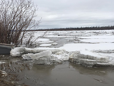
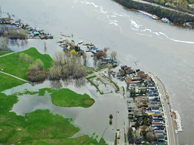
Mapping a Flood: every minute counts
For weeks, Simon Tolszczuk-Leclerc and the Emergency Geomatics Service (EGS) team have been following the spring thaw an
Keywords:Article
Today’s forecast: scattered ice chunks with an 80% chance of flooding
In analyzing the Facebook data collected by the community, Whalen and his colleagues Paul Fraser and Don Forbes are maki
Keywords:Article
Prototype flood map app captures what satellites can’t
A team of scientists at Natural Resources Canada collects data from radar satellite images and produces near-real-time m