
Building on the successes of the initiative with Dominica, the Centre for Mapping and Earth Observation (CCMEO) was approached by Jamaica’s Ministry of Economic Growth and Job Creation through the National Spatial Data Management Branch (NSDMB) to deliver technical assistance in strengthening the country’s mapping, monitoring and disaster response capabilities.
Canadian innovation strengthens Jamaica’s disaster response capabilities
Through a series of targeted missions, Jamaican counterparts received training in GeoAI to strengthen disaster preparedness, early warning systems and emergency response capabilities. The project included the provision of dedicated drones to collect and analyze high-resolution imagery, generating critical data to guide emergency operations and recovery planning.
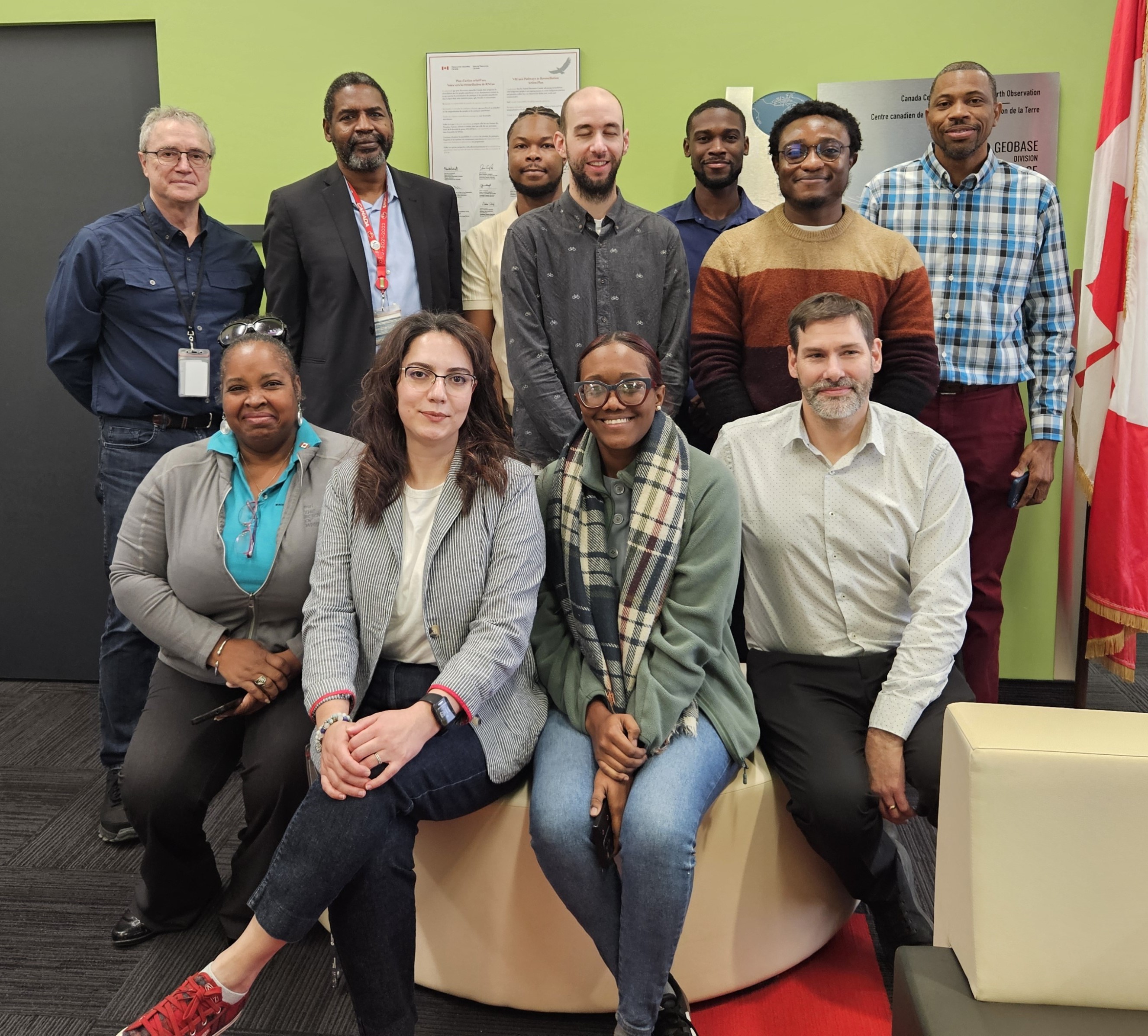
Delegation from Jamaica's Ministry of Economic Growth and Job Creation, National Spatial Data Management Branch visit the Canada Centre for Mapping and Earth Observation (CCMEO) in Sherbrooke, Québec, for continued training in GeoAI
By leveraging this technology, Jamaica has enhanced its risk assessment capabilities, early warning systems and emergency response planning. This training on AI-based technology supports the transfer of recognized Canadian innovation and reinforces Canada’s global leadership in responsible AI, a critical priority that the Government of Canada is committed to advancing both domestically and globally.
This initiative strengthened Jamaica’s resilience to extreme weather events and supported gender-responsive approaches, recognizing that climate impacts disproportionately affect women and girls.
Responding to Hurricane Melissa puts knowledge into action
After Hurricane Melissa struck Jamaica on October 30, 2025, Jamaican partners were able put their newly acquired GeoAI skills into action even as the technical assistance activities with NRCan experts were still underway. In response to the scale and severity of the disaster, Canada stepped in with additional support, rapidly processing pre- and post-disaster satellite and aerial imagery to generate a high-level damage assessment. These insights were shared with the NSDMB to support its immediate response efforts.
The collaboration culminated in a final workshop at CCMEO’s Sherbrooke laboratory facilities. During the workshop, Jamaican partners revisited key GeoAI concepts, explored advanced drone data-processing techniques, and completed hands-on exercises focused on change detection, damage assessment, and data extraction. Using real data from Hurricane Melissa, both teams jointly reviewed building footprints, assessed damage indicators, and refined post-disaster geospatial analyses. NRCan researchers provided feedback and additional resources, helping participants apply their training in real-world disaster-response operations and strengthen their preparedness for future events.
Canadian expertise expands globally
The demonstrated success of the initiatives with Jamaica and Dominica delivered by CCMEO has generated further interest from other countries. Senegal, in partnership with neighbouring ODA-eligible African countries, are receiving the first GeoAI technical assistance on the continent, in 2026-2027.