

Filter your results
Keywords:Article
Simply Science in Seconds: Smarter access to geospatial information
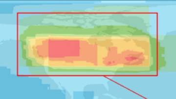
Canada’s Geospatial Services Web Harvester helps keep data current and discoverable
Keywords:Article
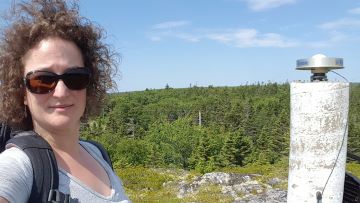
Meet Catherine Robin: Keeping Canada in the right place — down to the millimetre
The science that helps keep Canada aligned in ways most people never see. June 2026
Keywords:Article
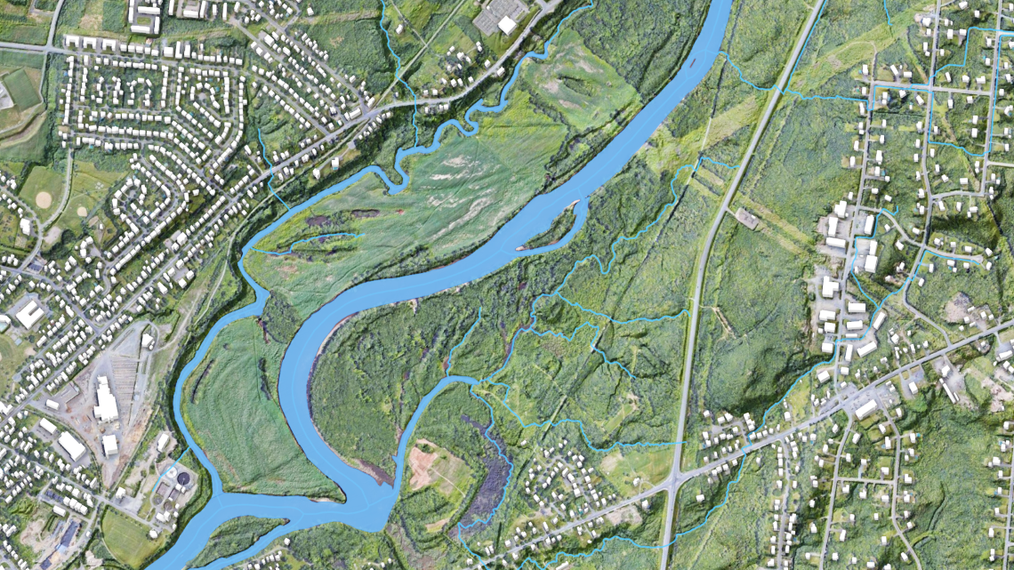
From rain to risk: How flood hazard maps are made
Create flood hazard maps by analyzing rainfall, terrain, and water flow to assess risk
Keywords:Video
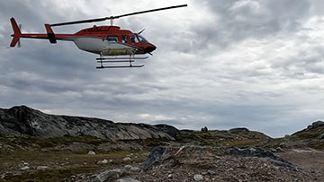
Engaging with remote communities to map the local bedrock
Scientist Mary Sanborn-Barrie maps Kivalliq bedrock with Nunavut communities - YouTube Video (9:35 minutes)
Keywords:Article
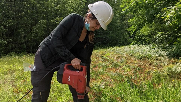
Making a very real difference while working in artificial intelligence
Apply artificial intelligence to solve real‑world problems and deliver measurable scientific impact
Keywords:Article
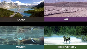
Experts in groundwater, vegetation, forestry, wetlands and landscapes work together for a common goal
Bring groundwater, vegetation, forestry, and wetlands experts together to manage landscapes toward shared goals
Keywords:Article
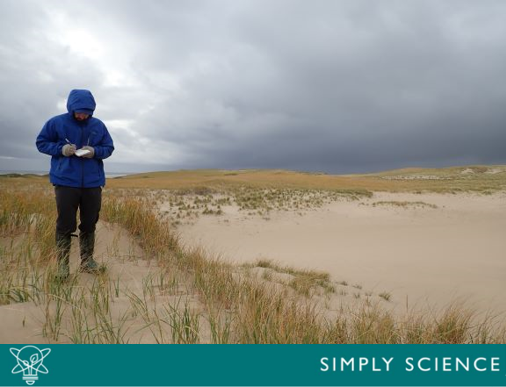
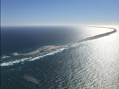
Sable Island: Canada’s original North Atlantic shapeshifter
Trace how shifting winds, waves, and sand continually reshape Sable Island’s landscapes and ecosystems
Keywords:Podcast
The Future of Sable Island
Consider how climate change and shifting sands could shape the future of Sable Island
Keywords:Article
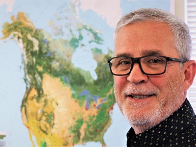
Machine Mapping Canada: training technology to complete the picture
Use machine learning and mapping to analyze national data and build a more complete picture of Canada
Keywords:Article
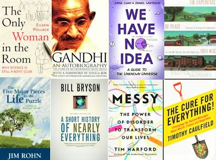
The gift of reading for science buffs
The written word has long helped us understand science and the natural world around us. In fact, Natural Resources Canad